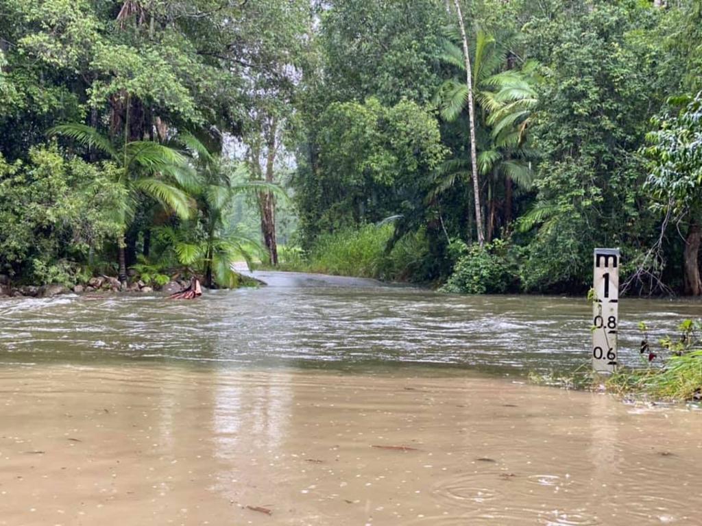
Finch Hatton Flood Hazard Designation
Mr ANDREW: Earlier this year, the Mackay Regional Council adopted a Temporary Local Planning Instrument, TLPI, 01/2023 which imposes a flood hazard designation on the town of in the Finch Hatton in the electorate of Mirani. The instrument took effect on 19 January 2024 and will remain in place for up to two years as the council presumably pushes on with its goal of imposing more permanent protections on the town. These hazard mapping overlays can have devastating implications for property owners, small business and the community. When we were at Clairview, I had an engineer from Cardno tell me that the modelling that they use for some of this has a 48 per cent error rate, so that is not good. Such impacts range from the restricted opportunities for development and growth to increased insurance rates and reduced property values. Whether it is freehold, leasehold, grazing, homestead, perpetual lease or native title, all properties in the vicinity are impacted.
I have spoken with many people in the regions who have expressed serious concerns over mapping overlays being applied to their properties causing them problems. The use of overlays fundamentally alters the development rights attached to a property and hence its value. It gives planning regulators a trump card and means that the goalposts in relation to the land can be legally moved. Moreover, once lawfully adopted by local government, there is no legal mechanism available for the property owners to have the mapping corrected.
Going back to Finch Hatton, most of the town’s flooding problems are a direct consequence of poor maintenance and management of its waterways over the last few decades. If they actually put the river truss back in and they take out all that gravel and sand, it could be re-used and repurposed for road base. After the next flood event, instead of bad governance being blamed climate change will be blamed. That is not what it is about.
Today the town’s waterways suffer from a severe build-up of silt, rocks and gravel that was once regularly cleared away—and that was the river truss. As a result, heavy rainfall events are now far more damaging for all rivers, creeks and streams in the Mount Dalrymple and Eungella regions than they were in the past. Before the council makes the flooding overlay and planning restrictions permanent, contractors should be engaged—and we talked to the minister about this—to remove all of the rocks and aggregation. Dredging work in particular would remove the large debris from the bottom of the river, greatly reducing the number and severity of the floods. It is something that should have been done a long time ago. Instead, millions of tonnes of soil and rocks have been allowed to remain in the rivers.
I will conclude by saying that a lot more work needs to be done on these hazard overlay maps, which are becoming a real bone of contention for those living in the regions adjacent to the reef. New legislation is needed that strikes a better balance between the government’s risk mitigation planning and property owners’ rights. This is a very important issue.

No responses yet